Del Aire, CA land: flood, zoning and parcels
9 vacant-coded on the county roll
Not verified: each parcel page says whether a building was found; 1 acres in all
County roll 2026 · Map data Oct 11, 2026
- Parcels2,797on the county tax roll
- Acres on the roll436
- In a FEMA flood zone0%special flood hazard area
California 2026-27 taxes: bills go out by November 1; first installment due by December 10, 2026, second by April 12, 2027; assessment appeals open until November 30, 2026. Pay or check a bill at the Los Angeles County Treasurer and Tax Collector.
Free account: 25 parcel cards a day on the map, with watches and a saved search. Get started free
Around Del Aire
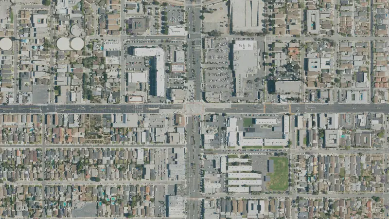
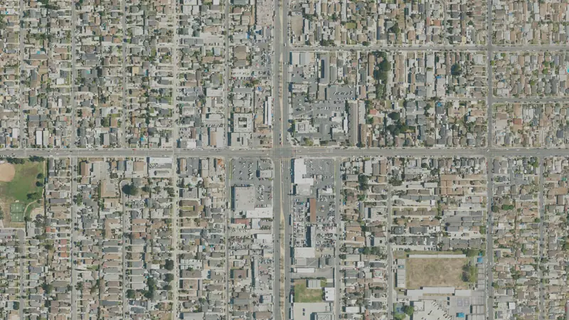
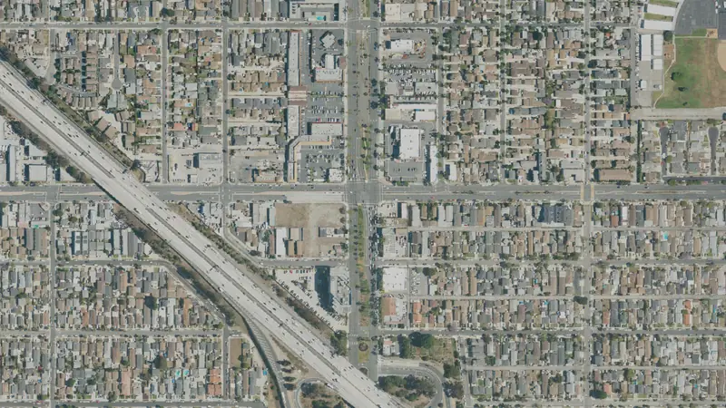
Flood zones and wetlands
People and new homes in Del Aire
About 11,115 people live in Del Aire.
- Population11,1152020–2024 average, ±1,159
- Median household income$141,5332020–2024 average, ±$16,534
What’s happening in Del AireThe latest public filings and sales
What's happening in Del Aire
Development frontier9 vacant-coded (roll) parcels · 1 acre
Vacant-coded land on the Los Angeles County tax roll, not verified from aerials; map built Oct 11, 2026.
Land in Del Aire by useLand use on the county roll
| Land class | Parcels | Share |
|---|---|---|
| Building on record | 2,775 | 99% |
| Vacant-coded residential (roll) | 8 | 0.3% |
| Institutional | 7 | 0.3% |
| Other or not coded | 6 | 0.2% |
| Vacant-coded commercial (roll) | 1 | under 0.1% |
9 parcels the county roll codes vacant (not verified) cover 1 acres. County tax roll 2026 (pulled Oct 2026); land class read from the roll's land-use and building fields.
Typical lot sizeThe typical lot, from the roll
The median parcel in Del Aire is 0.12 acre (2,797 parcels with a size); the median vacant-coded (roll) parcel is 0.06 acre.
| Vacant-coded (roll) parcels by size | Parcels |
|---|---|
| Under 1/4 acre | 9 |
Acres from the county roll, or from the parcel's own outline where the roll's figure is off by more than three times. Condominium units that share one point (each carrying the whole complex's acres) are left out of the lot sizes.
How Del Aire is zonedThe most common districts
| Zoning district | Parcels | Share of zoned |
|---|---|---|
| Single-Family Residence (R-1) | 2,707 | 97% |
| General Commercial (C-3) | 34 | 1.2% |
| Limited Density Multiple Residence (R-3) | 22 | 0.8% |
| Mixed Use Development (MXD) | 14 | 0.5% |
| Manufacturing--Industrial Planned (MPD) | 8 | 0.3% |
| Restricted Business (C-1) | 6 | 0.2% |
| Residential Planned Development (RPD) | 2 | 0.1% |
| Light Manufacturing (M-1) | 2 | 0.1% |
Zoning is on file for 100% of parcels in Del Aire, across 10 districts. The town or county zoning office has the final word on any parcel.
Nearby townsTowns around it
Questions about Del Aire landAnswers from the public records
How many parcels are in Del Aire, CA?
2,797 parcels on the 2026 Los Angeles County tax roll (pulled Oct 2026) inside the Census Bureau's boundary for Del Aire, which can differ from its own limits at the edges, covering 436 acres.
How much vacant land is in Del Aire, CA?
9 parcels the county roll lists as vacant land, 1 acres in all.
What is the typical lot size in Del Aire?
The median parcel is 0.12 acre and the median vacant parcel 0.06 acre, from 2,797 parcels with a recorded size.
How much of Del Aire is in a flood zone?
0% of parcels are in a FEMA special flood hazard area (National Flood Hazard Layer, as of Oct 2026). Check each parcel's own flood line before you buy.
Are there wetlands in Del Aire?
0% of parcels are a quarter or more wetland on the USFWS National Wetlands Inventory, a mapping guide, not a legal delineation.
What is Del Aire zoned?
Zoning is on file for 100% of parcels. The most common districts: Single-Family Residence (R-1), General Commercial (C-3), Limited Density Multiple Residence (R-3).
Are there land prices for Del Aire?
No land-price range is shown for Del Aire yet. We have no sale-price file for Los Angeles County yet.
How many people live in Del Aire?
About 11,115 on average over 2020–2024 (Census American Community Survey 5-year).
Where does this data come from?
Parcels: Los Angeles County Office of the Assessor (LA County eGIS parcel layer). Flood: FEMA National Flood Hazard Layer. Wetlands: USFWS National Wetlands Inventory. Towns: U.S. Census places. Every figure is counted from those files on our map.
More in Los Angeles CountyIts other towns
Sources & methodSources, dates and how these figures are built
Headline figures: source and date
Parcels: County tax roll, 2026 roll, counted on our map built Oct 11, 2026.
Acres on the roll: County tax roll, 2026 roll, counted on our map built Oct 11, 2026.
In a FEMA flood zone: FEMA National Flood Hazard Layer, as of Oct 10, 2026; counted on our map built Oct 11, 2026.
Property tax due dates
California Revenue and Taxation Code 2617, 2618, 2619 and 1603; the State Board of Equalization’s 2026 appeal filing periods. Checked Oct 13, 2026.
Flood zones and wetlands: source and date
FEMA flood zone (A or V): FEMA National Flood Hazard Layer, as of Oct 10, 2026; counted on our map built Oct 11, 2026.
Parcels at least 25% wetland: USFWS National Wetlands Inventory, as of Oct 9, 2026; counted on our map built Oct 11, 2026.
People and new homes in Del Aire
U.S. Census Bureau, American Community Survey 2020-2024 5-year (B19013) (Jan 2026).
Sources
Parcels: Los Angeles County Office of the Assessor (LA County eGIS parcel layer) (2026 roll, pulled Oct 2026); vacant-coded parcels: no building on the county roll, screened parcels (common areas, right-of-way, government land, slivers) left out; not verified from aerials, so the map and each parcel page say Vacancy not verified; flood: FEMA National Flood Hazard Layer (as of Oct 2026); wetlands: USFWS National Wetlands Inventory (as of Oct 2026); town limits: U.S. Census Bureau TIGER/Line places; counted on our map built Oct 2026.